Training Geomorphological Survey and Mapping
Descriptions Geomorphological surveys and mapping are very important to describe genetically landforms and processes that occur in the past or present and their relationship with landforms in spatial arrangements (Van Zuidam, 1979). This is intended so that the...Training GIS (Geographic Information System)
Silabus bahasa indonesia –> Training Sistem Informasi Geografi (SIG) Descriptions According to Murai (1999), Geographic Information Systems (GIS) as an information system used to enter, store, recall, process, analyze and produce geo-referenced data or...Training Sistem Informasi Geografi (SIG)
Syllabus in english –> Training GIS (Geographic Information System) Deskripsi Sistem Informasi Geografi (SIG) sebagai system informasi yang digunakan untuk memasukkan, menyimpan, memanggil kembali, mengolah, menganalisis dan menghasilkan data...Customer Care
![]()
PT. Vyntech Multi Solutions
Perum Tiara Amarta No.2B
Kota Yogyakarta
E-mail : vyntech@yahoo.com
Phone I : 0812-1517-0500
Phone II : 0812-1517-0700

atau scanQR Code di atas
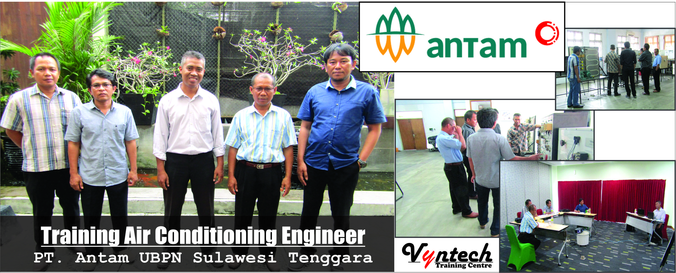
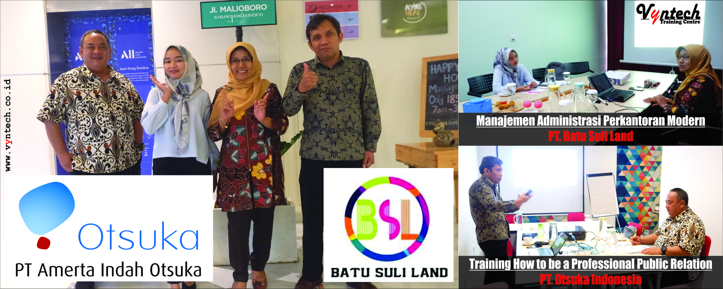
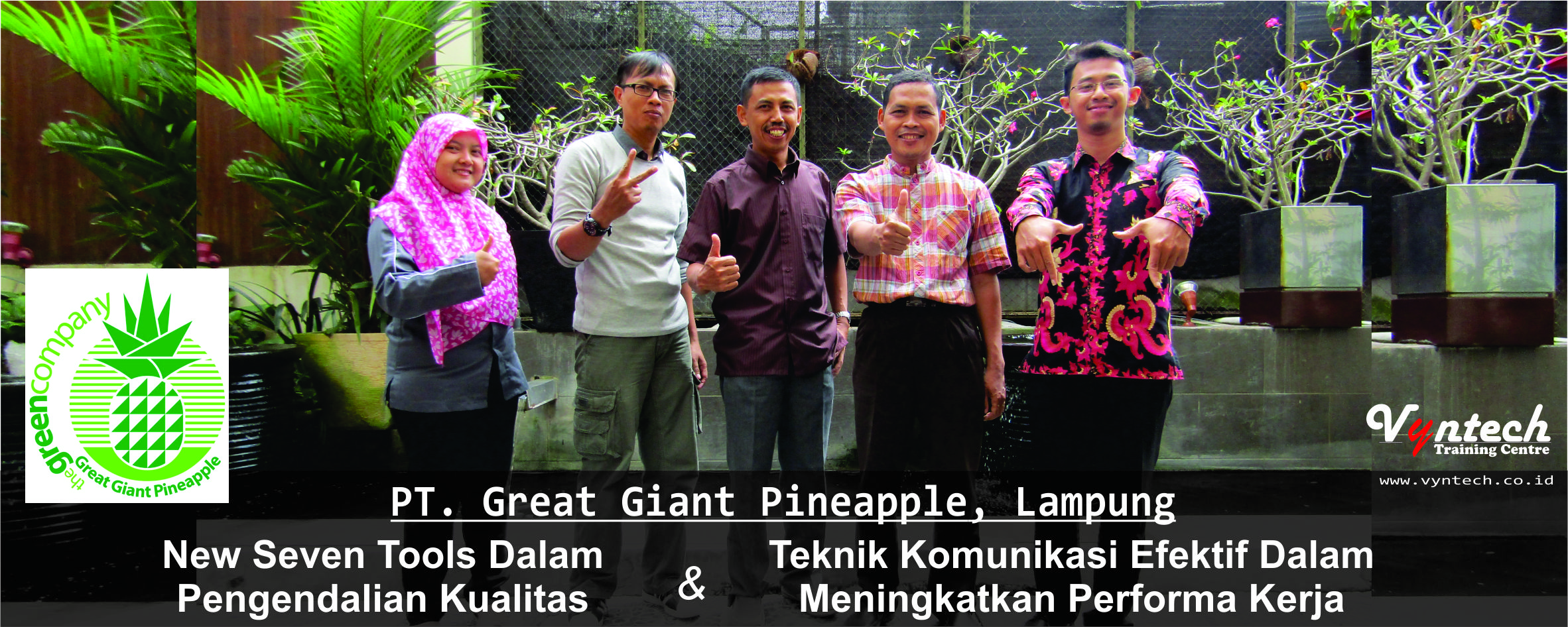
Galeri Training